ⵣ · Permanent exhibit · Aurès
Timgad
A city drawn with a ruler.
In the year 100 CE the emperor Trajan ordered a new town for retired soldiers on the northern slope of the Aurès. Surveyors laid a perfect square on empty ground, cut two great avenues through it, and filled the rest with a chessboard of streets. Sand buried the result for more than a thousand years, which is exactly why it survives today as the clearest Roman city plan anywhere in the world.
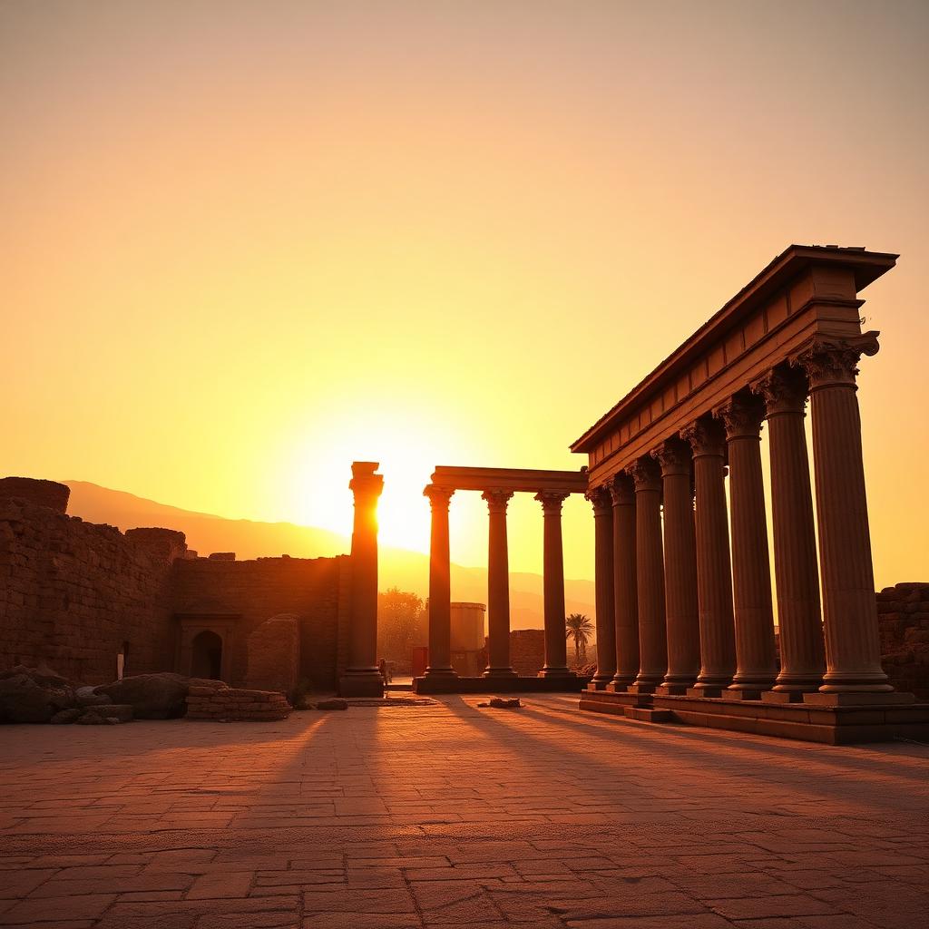
Illustration created for DZ Odyssey. Not a historical photograph.
ⵣ · Where
On the northern shoulder of the Aurès
Timgad sits in the wilaya of Batna, about thirty-five kilometres east of the city of Batna, on a high plain where the Aurès massif meets the cereal country of the Hautes Plaines. The position was chosen for control rather than comfort. From here a garrison could watch the passes that lead south into the mountains, and the legionary base of Lambaesis lay a short march to the west.
Museum data card · Timgad
- Roman name
- Thamugadi
- Founded
- 100 CE
- Founder
- Emperor Trajan
- Original grid
- about 355 m square
- Elevation
- about 1,000 m
- Inscribed
- UNESCO, 1982
The founding inscription names the town Colonia Marciana Traiana Thamugadi, after Trajan and his sister Marciana. The Amazigh place name Thamugadi was there first, and it is the one that survived.
ⵣ · Origins
A pension paid in city blocks
Rome had a standing problem: what to do with soldiers who had finished twenty-five years of service. Timgad was one answer. Veterans of the Third Augustan Legion, many of them recruited locally, received a house plot in a brand-new colony. They arrived as Roman citizens with land, and the town they filled was designed before any of them set foot in it.
The people who lived there were not transplanted Italians. Inscriptions from the forum and the cemeteries are full of Amazigh names carrying Roman titles, families who spoke Punic or Libyan at home and Latin in the basilica. Timgad is a Roman city, and it is also an African city built by Africans who had learned to use Rome's tools.
Growth outran the plan within two generations. The square filled, then spilled past its own boundary in every direction, and the later quarters wander where the original streets march. That contrast, a rigid core with an improvised skirt, is one of the most useful things Timgad has to teach.
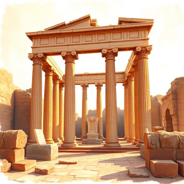
Illustration created for DZ Odyssey. Not a historical photograph.
ⵣ · The plan
Two axes, one hundred and eleven blocks
The original colony is a square of roughly 355 metres a side, divided by the decumanus maximus running east to west and the cardo maximus running north to south. Where they would have crossed, the surveyors placed the forum instead, so the two great streets meet the civic heart rather than each other. The remaining space is cut into about 111 insulae, city blocks close to twenty metres square.
Nothing about this is improvised. It is the standard layout of a Roman military camp, scaled up and made permanent in stone. Walk one street and you can predict every other. That legibility is why Timgad became a textbook case for the study of Roman urbanism long before it became a heritage site.
- The cardo maximus is paved in large limestone slabs still grooved by cart wheels.
- Colonnaded porticoes lined the main streets, giving shade on a plain with almost none.
- Fourteen bath complexes have been identified, an extraordinary number for a town of this size.
- Public latrines on the forum square still have their carved dolphin armrests in place.
ⵣ · Walking the site
Six rooms of a city
01 · Western gate
The Arch of Trajan
A sandstone arch about twelve metres high with three bays, a tall central passage for vehicles and two lower side passages for people on foot. It stands where the decumanus leaves the original square, and it became the emblem of the site.
Did you know · It is often called Timgad's triumphal arch, but it worked as a monumental city gate.
02 · About 168 CE
The theatre
Cut into a natural slope on the southern edge of the colony, the theatre seated in the region of three and a half thousand spectators, more than the original population of the town. It is still used for performances today.
Did you know · A capacity larger than the population usually means the town served a wide rural hinterland.
03 · Second or third century
The library of Rogatianus
A semicircular reading hall with niches for scroll cupboards, paid for by a citizen named Marcus Julius Quintianus Flavius Rogatianus. Very few public libraries of the Roman world survive in a recognisable state, which makes this one of Timgad's rarest rooms.
04 · Civic centre
The forum and its inscription
A paved square ringed by a basilica, a council house, temples and shops, and scattered with statue bases whose inscriptions record the names of the people who paid for the city. One paving stone carries a famous scratched line about how to spend a life.
05 · Fourth and fifth centuries
The Christian quarter
Outside the original square stand a large basilica and a baptistery with a mosaic font. Timgad was a stronghold of Donatism, the North African Christian movement that broke with Rome over the question of clergy who had yielded under persecution.
Did you know · Donatism was, among other things, an African church asserting its independence of judgement.
06 · 539 CE
The Byzantine fort
South of the town, a compact walled fortress was raised under the Byzantine general Solomon, partly out of stone quarried from the ruins of the Roman city it was meant to protect. It is the last major building phase on the site.
ⵣ · Afterlife
Buried, forgotten, then read again
Vandal raids in the fifth century and Amazigh mountain revolts weakened the town. The Byzantine reoccupation gave it a garrison but not a future. After the seventh century Thamugadi ceased to be a city, and the wind did the rest, laying sand over streets, thresholds and paving stones until only the tops of columns showed.
That burial is the reason the plan is legible. Cities that stayed alive were rebuilt on top of themselves; Timgad was simply sealed. Excavation began in 1881 and continued for decades, lifting a whole street network back into daylight almost intact.
Excavation was not neutral. It took place under colonial rule, and much of the early publication served an argument that Roman Africa was a European inheritance. Reading Timgad honestly means holding both facts at once: the archaeology is invaluable, and the frame it was first presented in was political.
To hunt, to bathe, to play, to laugh, that is to live.
ⵣ · World Heritage
Inscribed in 1982
Timgad was added to the World Heritage List in 1982 as an outstanding example of Roman town planning. The inscribed property covers the colony, its extensions, the Byzantine fort and the surrounding archaeological zone.
Criteria of inscription
Timgad shows the exchange of urban ideas between Rome and North Africa, a military layout adapted to an African plateau and its climate.
It bears exceptional testimony to the Roman colonial civilisation of the African provinces and to the communities, largely Amazigh, who lived it.
The orthogonal grid, preserved almost complete, is an outstanding example of a type of urban ensemble illustrating a significant stage in human history.
What is protected
The Roman colony and its later suburbs, the theatre, the forum, the arch, the library, the Christian complex, the Byzantine fort and the necropolises, together with their setting on the plateau.
The pressures
Exposed stone weathers. Frost, rain and wind erode carved surfaces, vegetation lifts paving, and visitor circulation wears the main streets. Conservation at Timgad is mostly patient maintenance rather than reconstruction.
ⵣ · Why it matters
A city you can still read
Most ancient cities reach us as fragments. Timgad reaches us as a document. You can stand at the forum and see, in one turn of the head, how a Roman town organised water, worship, government, entertainment and waste. Very few places on earth allow that.
It also matters as Algerian history, not borrowed history. The men and women whose names are cut into these stones were from here. Rome was a framework they used, argued with, and eventually outlived, and the Aurès around the site kept its own language and its own memory throughout.
ⵣ · Did you know?
Six things the guidebooks skip
Timgad had public latrines with marble seats, running water and carved dolphin armrests, arranged so users faced one another and could talk.
The town had roughly one bath complex for every three hundred original inhabitants.
Its Latin name preserves an Amazigh one. Thamugadi is the older word, and the imperial titles were added in front of it.
The library of Rogatianus is one of only a handful of Roman public libraries whose plan can still be traced on the ground.
The Byzantine fort was partly built from stones taken out of the Roman city, so the last builders on the site were also its first quarry workers.
The theatre is still in use. Concerts are held in a hall that was cut into the hillside more than eighteen centuries ago.
ⵣ · Museum collection
Plates and comparisons
Every plate in this exhibit is an interpretive illustration produced for DZ Odyssey, not a documentary photograph of the site. Full provenance is listed at the end of the exhibit.
Plate 01
Timgad · the decumanus and the arch
Interpretive illustration produced for DZ Odyssey. Not a documentary photograph.
Plate 02
Roman Algeria · the wider province
Interpretive illustration produced for DZ Odyssey. Not a documentary photograph.
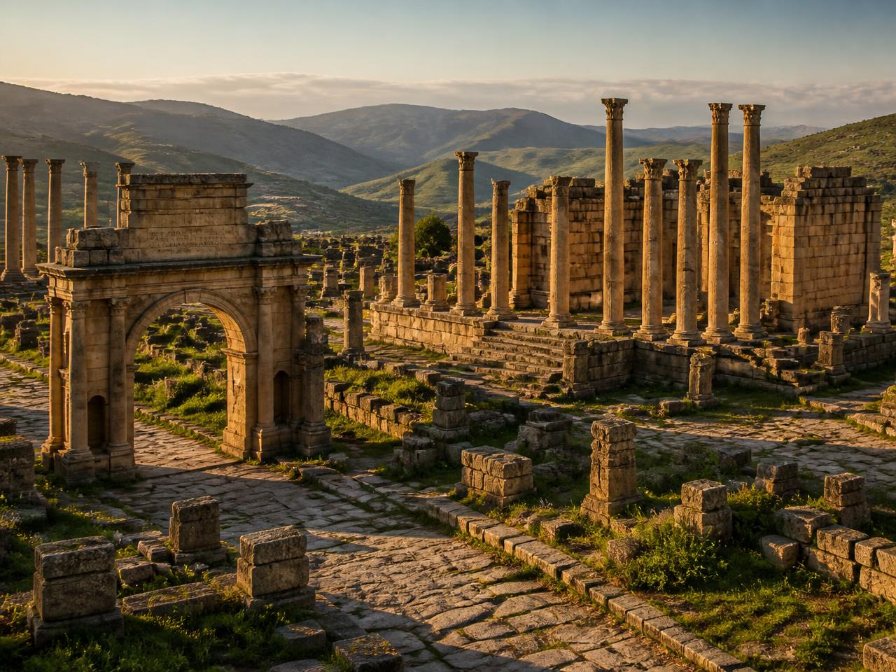
Plate 03
Djémila · the mountain comparison
Shown for comparison. Djémila adapted its plan to a ridge, where Timgad imposed a grid on flat ground. Interpretive illustration.
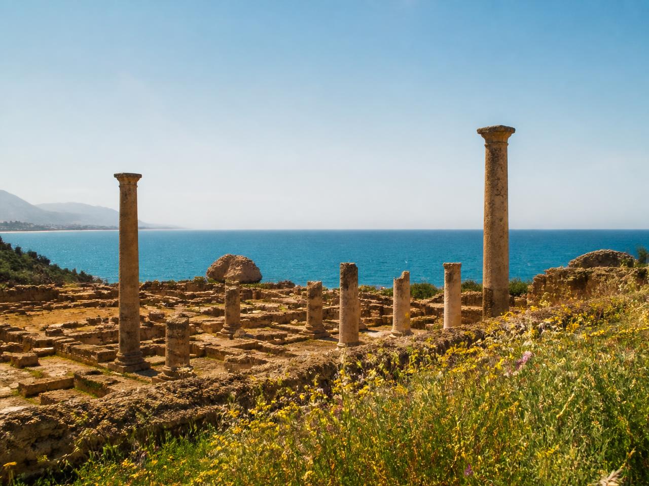
Plate 04
Tipasa · the coastal comparison
Shown for comparison, a port city rather than a veterans' colony. Interpretive illustration.
Provenance & Sources
Traceable citations, curator notes and further reading.
Verified
Provenance & Sources
Traceable citations, curator notes and further reading.
The exhibit follows the UNESCO World Heritage record for Timgad, together with standard published accounts of the Roman colony of Thamugadi.
International Organizations
- UNESCO